Know the moment anything crosses a line
A vehicle leaves its route, or a person steps into a hazard area — and you find out too late. Draw a geofence on the map or a zone on a camera, and ELIAN alerts you the instant an asset or person crosses it.
One idea, two inputs
Draw a boundary. We watch it
GPS geofences
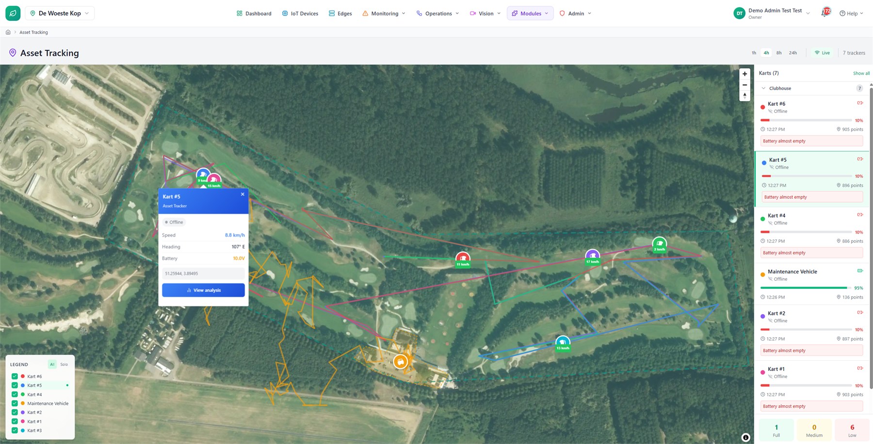
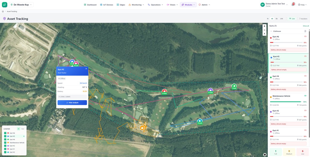
Draw polygon boundaries on the map for vehicles, equipment and field crews. Get enter and exit alerts the moment a tracked asset crosses, with automatic resolution when it returns.
Camera safety zones
Draw zones on any camera view. On-edge AI detects a person or vehicle entering a restricted or hazardous area and raises an alert in real time — no tags or wearables required.
Alerts that reach the right people
Route breaches to the people responsible for that site or zone, through the channels they already use, so the right crew knows immediately.
Part of the operating picture
Every breach lands on the live map and event timeline next to your telemetry and camera evidence — so a crossing is never just a line in a log.
Every boundary on one map
See your geofences and zones across every site in one view, with live status and a timeline of every crossing. Turn a breach into a task or an escalation without leaving the screen.